Customize Consent Preferences

We use cookies to help you navigate efficiently and perform certain functions. You will find detailed information about all cookies under each consent category below.

The cookies that are categorized as "Necessary" are stored on your browser as they are essential for enabling the basic functionalities of the site. ... 

Always Active

Necessary cookies are required to enable the basic features of this site, such as providing secure log-in or adjusting your consent preferences. These cookies do not store any personally identifiable data.

No cookies to display.

Functional cookies help perform certain functionalities like sharing the content of the website on social media platforms, collecting feedback, and other third-party features.

No cookies to display.

Analytical cookies are used to understand how visitors interact with the website. These cookies help provide information on metrics such as the number of visitors, bounce rate, traffic source, etc.

Performance cookies are used to understand and analyze the key performance indexes of the website which helps in delivering a better user experience for the visitors.

Advertisement cookies are used to provide visitors with customized advertisements based on the pages you visited previously and to analyze the effectiveness of the ad campaigns.

No cookies to display.

Buttermere

Wild Swimming
Free!

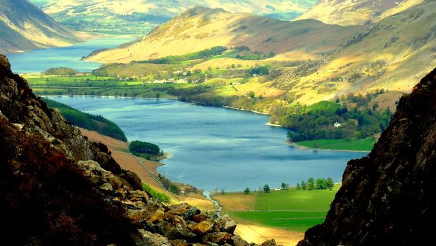
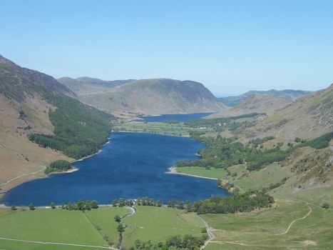
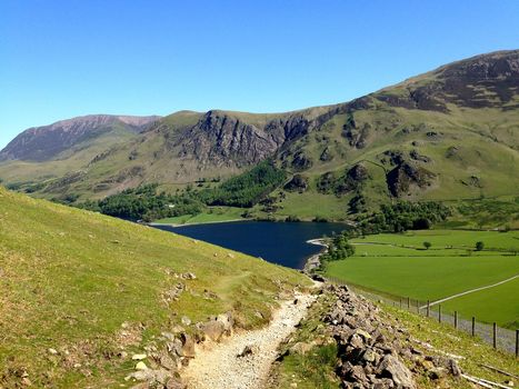
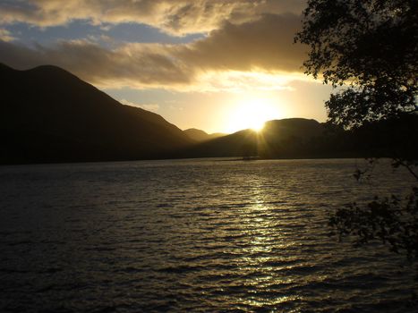
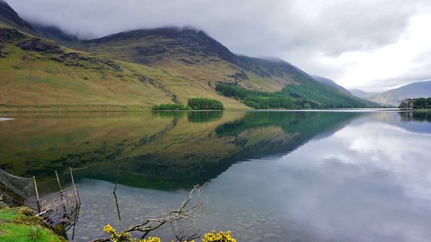
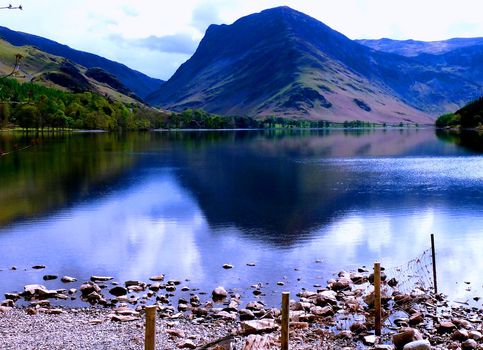
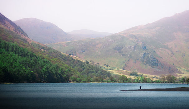
Buttermere is a lake in the Lake District in North West England and is an excellent swimming lake. There is a path around the perimeter and no motorised crafts are allowed. The adjacent village of Buttermere takes its name from the lake. Historically in Cumberland, the lake is now within the county of Cumbria. Owned by the National Trust, it forms part of its Buttermere and Ennerdale property.

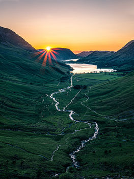
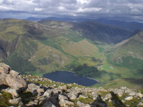
Geography The lake is 1.25 miles (2,010 m) long by 0.25 miles (400 m) wide, and is 75 feet (23 m) deep. It has an elevation above sea level of 329 feet (100 m). It is situated towards the head of the valley of the River Cocker and is surrounded by fells, notably the High Stile range to the south west, Robinson to the north-east, Fleetwith Pike and Haystacks to the south-east and Grasmoor to the north-west.

The village of Buttermere stands at the north-western end of the lake, and beyond this is Crummock Water. There is a path around the lake which is about 4.5 miles (7.2 km) long, and at one point runs through a rock tunnel beneath the locality of Hassness. Access is by road, from Cockermouth in the north-west; from Borrowdale via the Honister Pass; or from Braithwaite and the Newlands Valley via Newlands Hause.

The text for this activity has been modified from the original Wikipedia version and is released under CC-BY-SA
Marker
Leaflet © OpenStreetMap contributors